
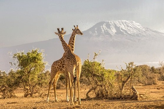
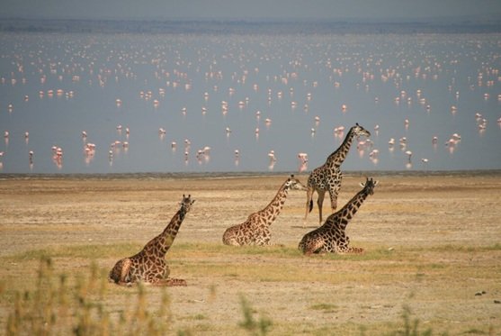
Manyara National Park Lake Manyara National Park is a protected area in Tanzania's Arusha and Manyara Regions, situated between Lake Manyara and the Great Rift Valley. It is administered by the Tanzania National Parks Authority, and covers an area of 325 km2 (125 sq mi) including about 230 km2 (89 sq mi) lake surface. More than 350 bird species have been observed on the lake
There are two rainy seasons - "short rains" from November to December and the "long rains" from March to May. The wettest month (with the highest rainfall) is April (161 mm (6.3 in) and it also has the highest number of rainy days (19 days). The driest months (with the lowest rainfall) are July, August and September (1 mm (0.039 in). September also has the lowest average number of rainy days (2 days). The warmest months (with the highest average high temperature) are January, February and March, averaging 30 °C (86 °F). Months with the lowest average high temperature are June and July, averaging 25 °C (77 °F).[7] The adjacent highlands tend to be cooler with more rainfall.
To the east is the Kwa Kuchinja Wildlife Migration corridor, which allows wildlife to migrate between the near-by Tarangire National Park to the southeast, Lake Manyara to the west, and the Engaruka Basin to the north. Within the Kwa Kuchinja corridor are several villages.
Lake Manyara National Park is part of the Lake Manyara Biosphere Reserve. Lake Manyara, including the areas within and outside the national park, along with the Marang Forest Reserve on the adjacent uplands are included in the Lake Manyara Important Bird Area.